Current Projects
For a complete list of my current funded research projects, visit appliedfirescience.org/research/cultural-resources.
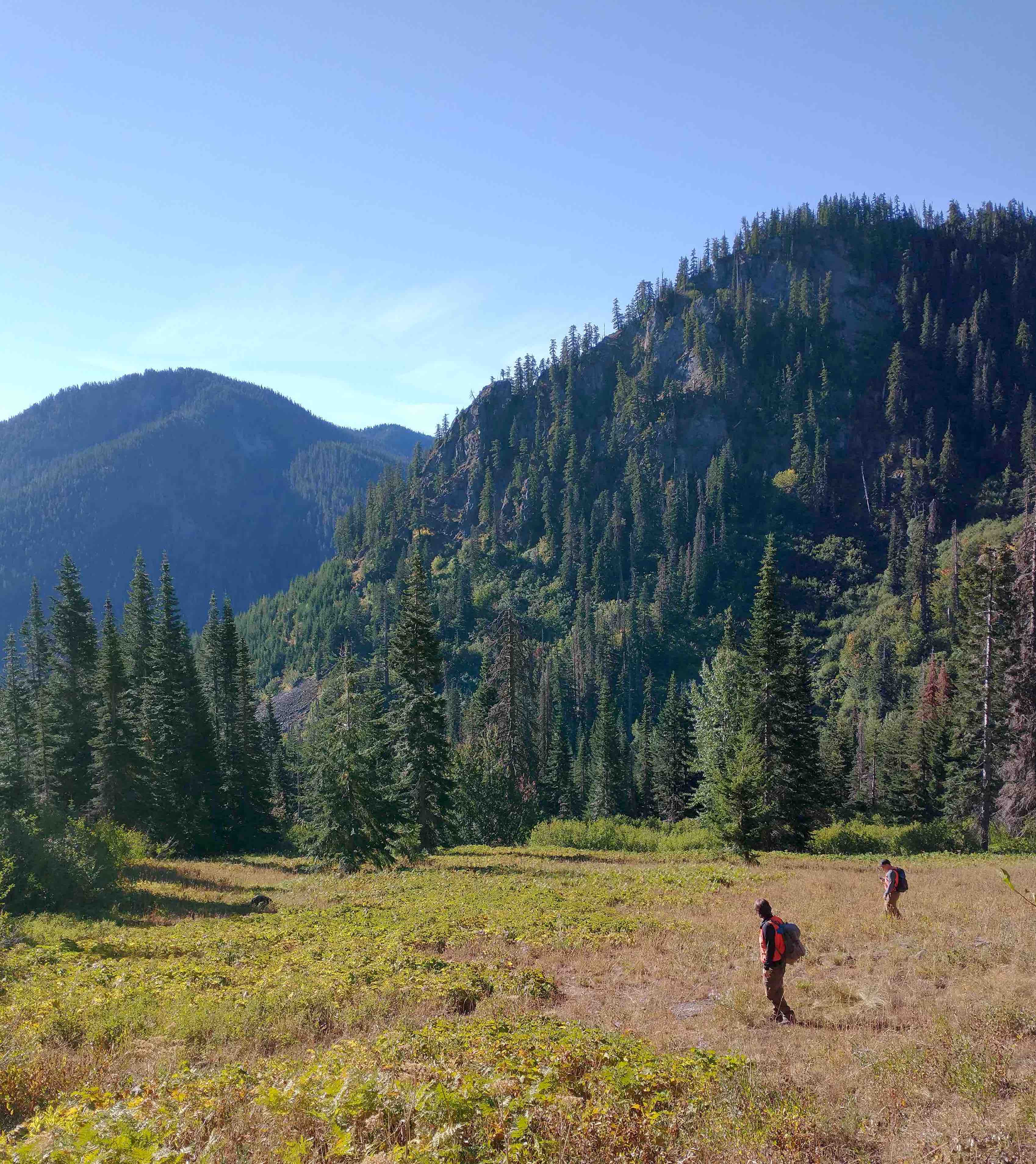
Collaborative Research: The nexus of long-term human pyrogeography, environmental change, and climate in the high-elevation social-ecological systems of Washington’s Cascade Range
This project investigates social-ecological relationships within Pacific Northwest high-elevation ecological zones, emphasizing long-term cultural burning practiced by indigenous communities. This study employs an interdisciplinary approach that interweaves archaeology, paleoecology, participatory mapping, and computational modeling to evaluate how human-environment interactions potentially shape high-elevation landscapes. Funding from the National Science Foundation, Award # 2345878.
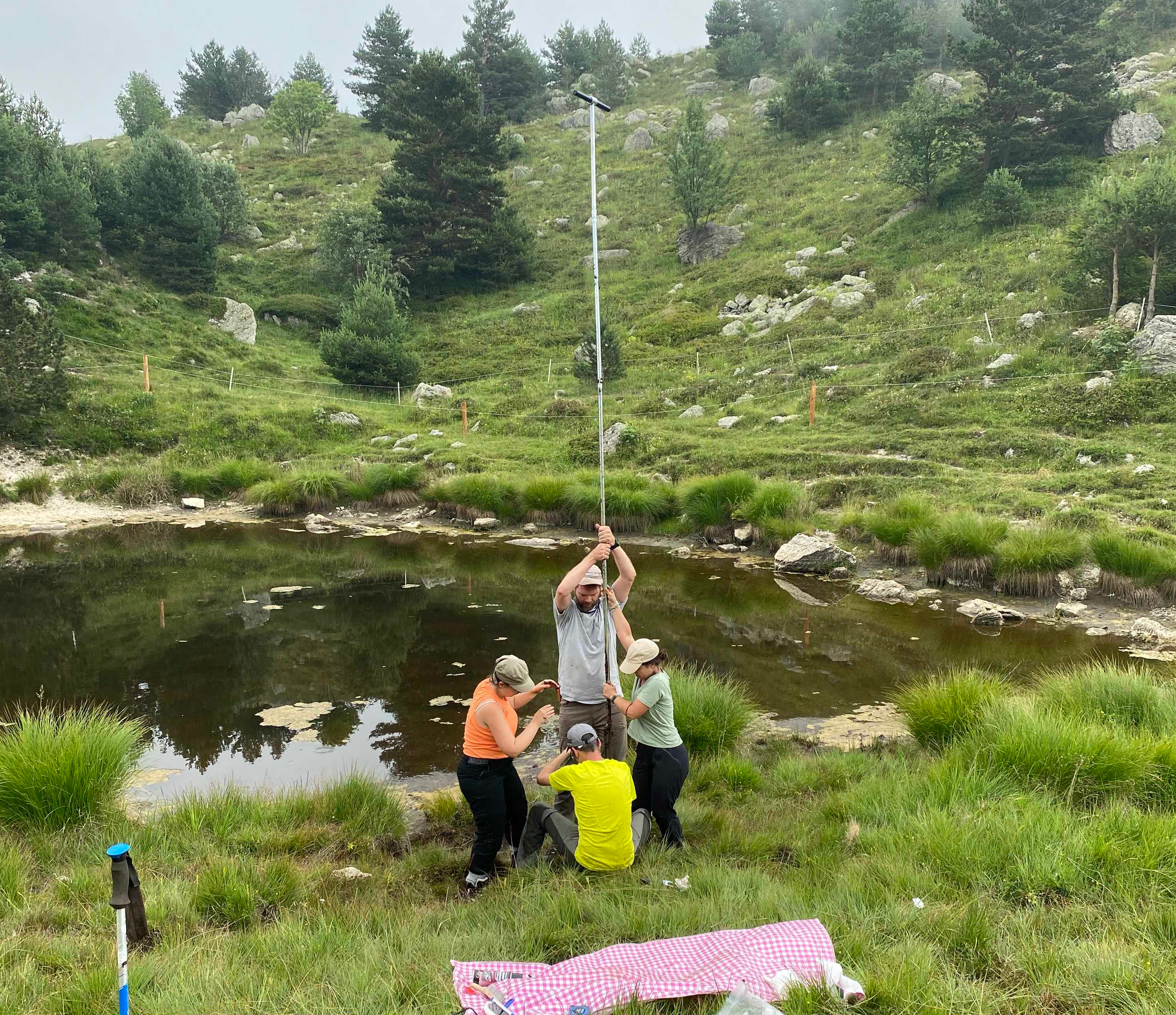
Documenting forager adaptations to dramatic climate change at the Pleistocene-Holocene transition in Liguria (Italy)
Using a multidisciplinary approach (including paleo-fire reconstruction), this project documents the relationship between prehistoricforagers and their changing environment in Liguria (NW Italy), an important biogeographical corridor between the Mediterranean and continental Western Europe. PI: Claudine Gravel-Miguel.
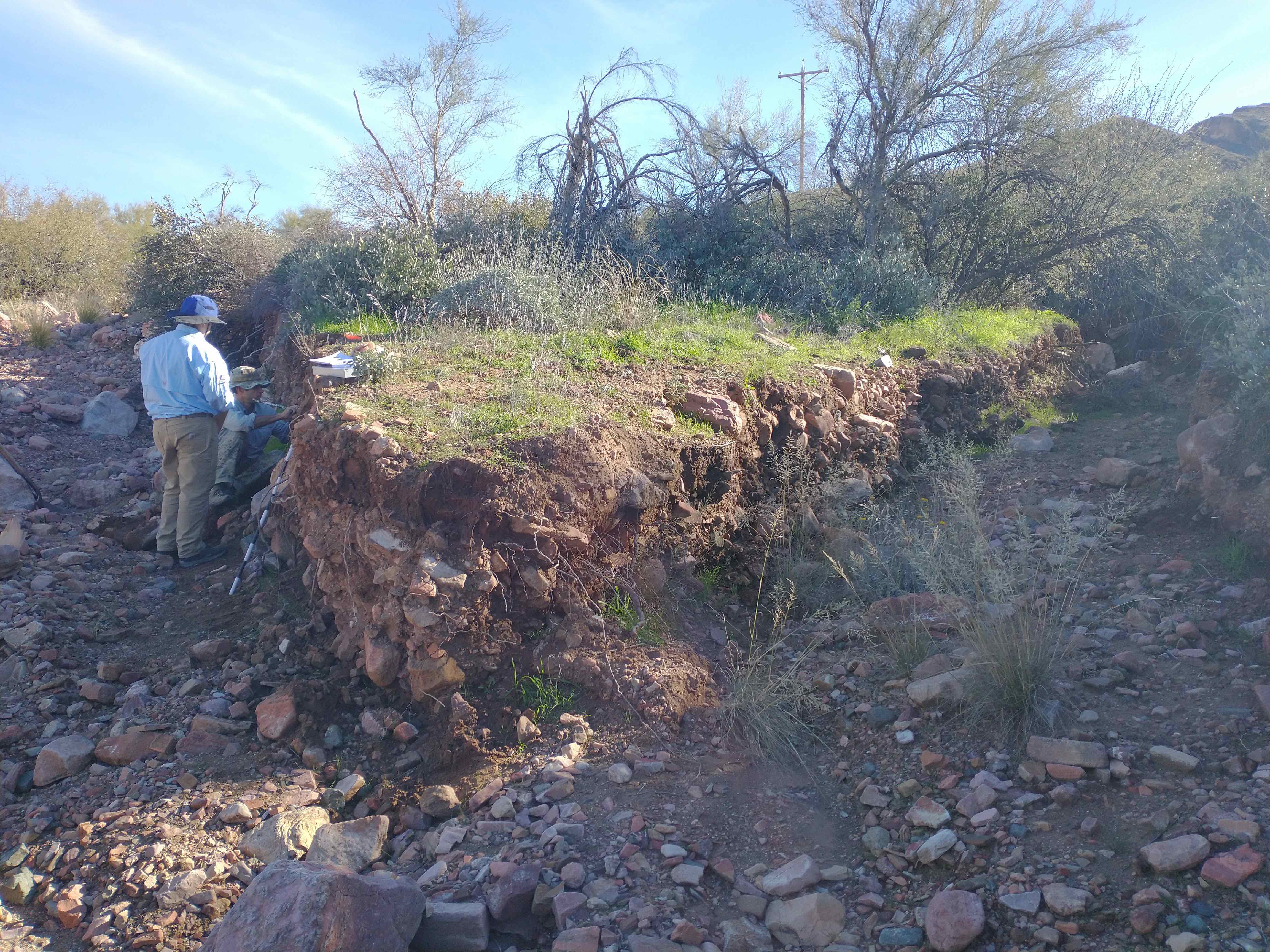
Reconstructing Fire History and Land Use at the Tonto National Monument, AZ
This project aims to conduct the first long-term fire history study in the Tonto Basin and bridge evidence for changes in fire regimes with evidence for changing land-use patterns. This work will be used to construct a baseline understanding of long-term human-fire relationships on the Tonto National Monument (TNM). PIs: Christopher Caseldine and Grant Snitker.
Previous Projects
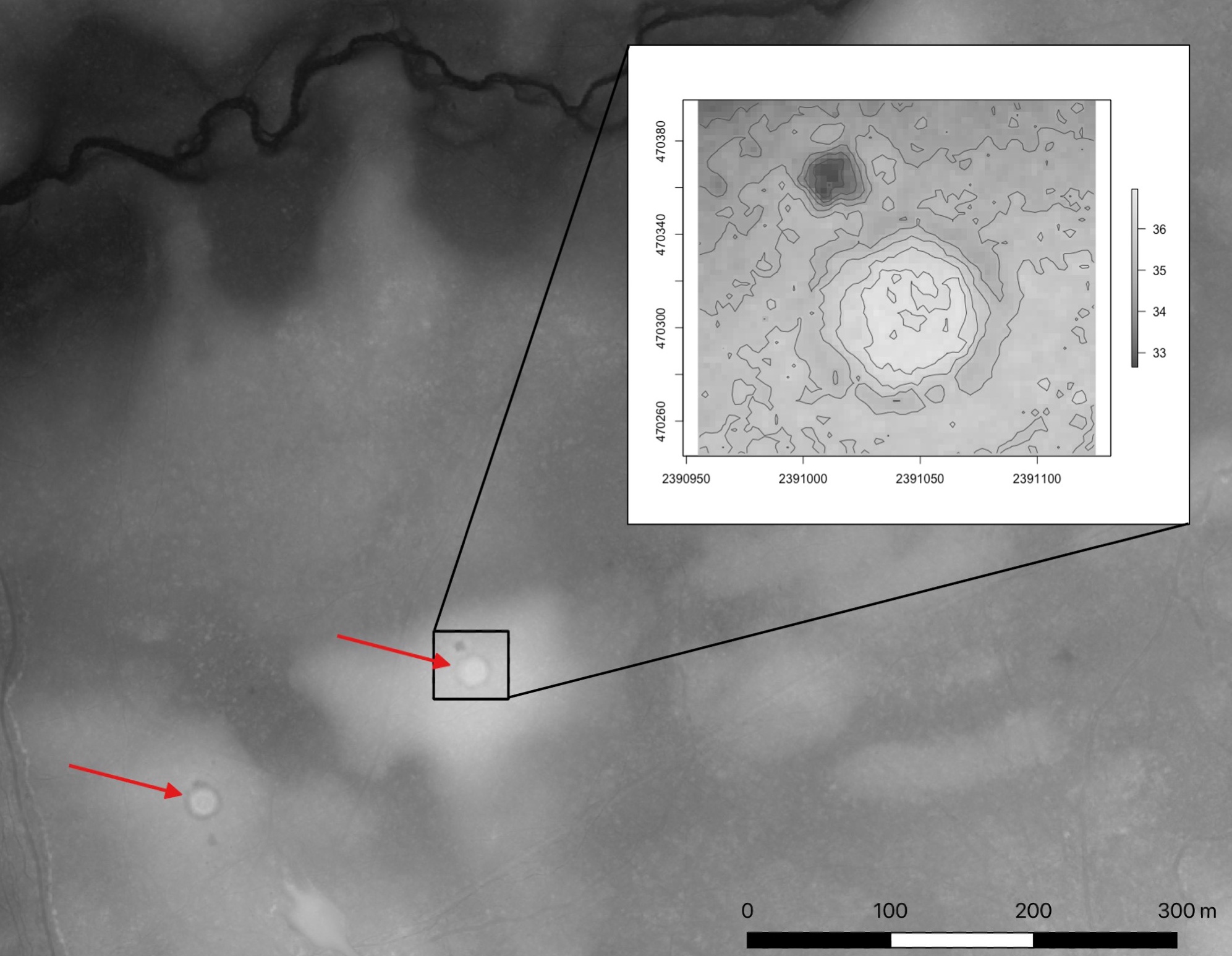
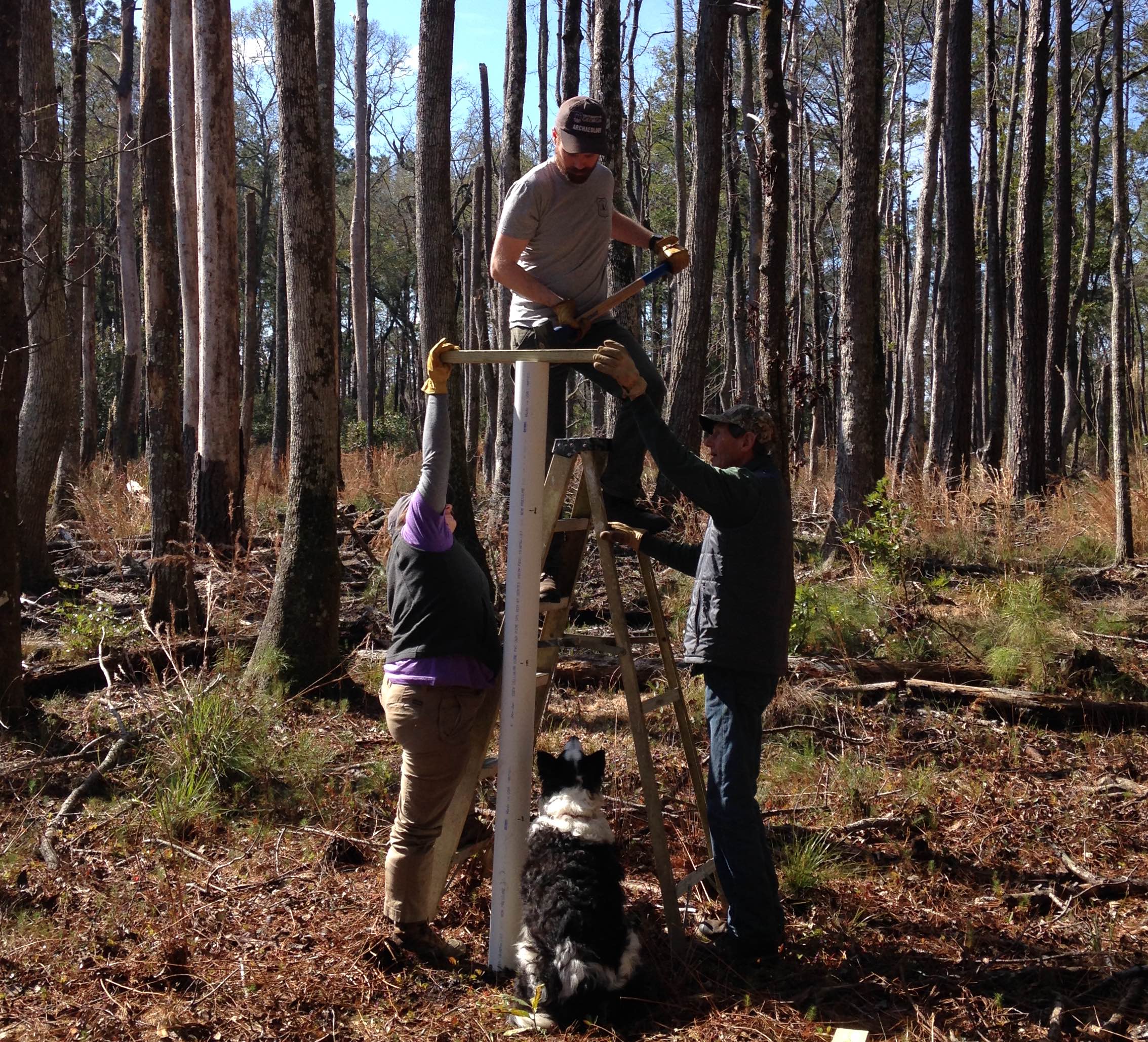
Francis Marion National Forest Tar Kiln Project
USFS collaboration using advanced geospatial modeling and computer vision techniques to identify archaeological tar kiln production sites for management of both cultural (archaeological features) and ecological (historical longleaf pine stands) resources.
Link to Francis Marion National ForestLink to International Paleofire Network seminar outlining this project (Part 1) (Part 2)
Emergence and Evolution of a Colonial Economy Project
Interdisciplinary project examining the origins and evolution of the cattle industry within the South Carolina coastal plain and how it relates to economically motivated social and environmental change.
Link to Francis Marion National Forest
Landscape, Encounters, and Identity (LEIA) Project
Interdisciplinary project and field school (University of Washington and Universitat de les Illes Balears) examining landscape transformation and cultural change in pre- and proto-historic Mallorca, Spain.
Link to LEIA project webiste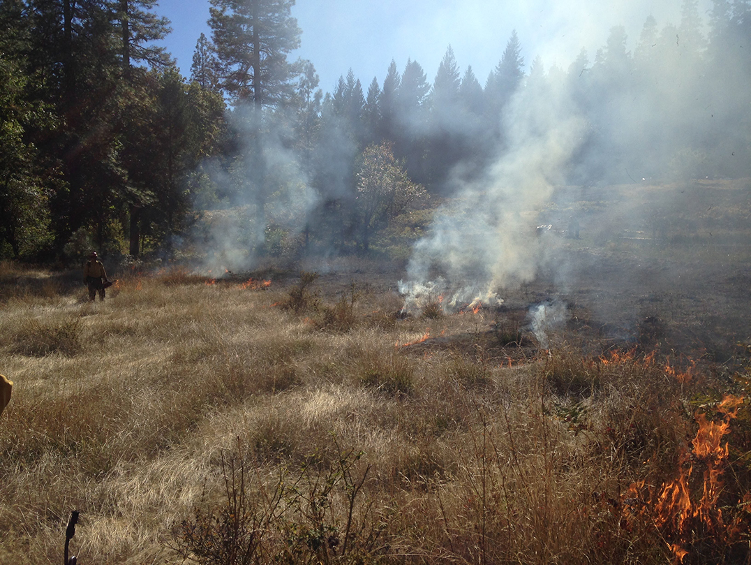
Wildfire probability mapping based on regional soil moisture models
Modeling and mapping soil moisture across the western US to predict changing in wildfire occurrence and risk. Collaboration between the USGS and USDA SW Climate Hub.
Link to CASC project website
Anthropogenic Fire and the Origins of Agricultural Landscapes Project
NSF-funded archaeology and paleoecology project to explore the process of niche-construction and anthropogenic fire during the transition to agro-pastoral subsistence in eastern Spain.
Link to NSF project website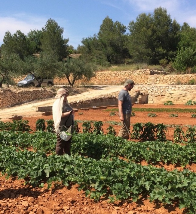
The Emergence of Coupled Natural and Human Landscapes in the Western Mediterranean (MedLanD) Project
NSF-funded project evaluating the emergence of coupled social-ecological systems on landscape dynamics through modeled and empirical archaeological and paleoecological data from eastern Spain.
Link to MedLanD project websiteLink to MedLanD modeling laboratory in CoMSES / OpenABM
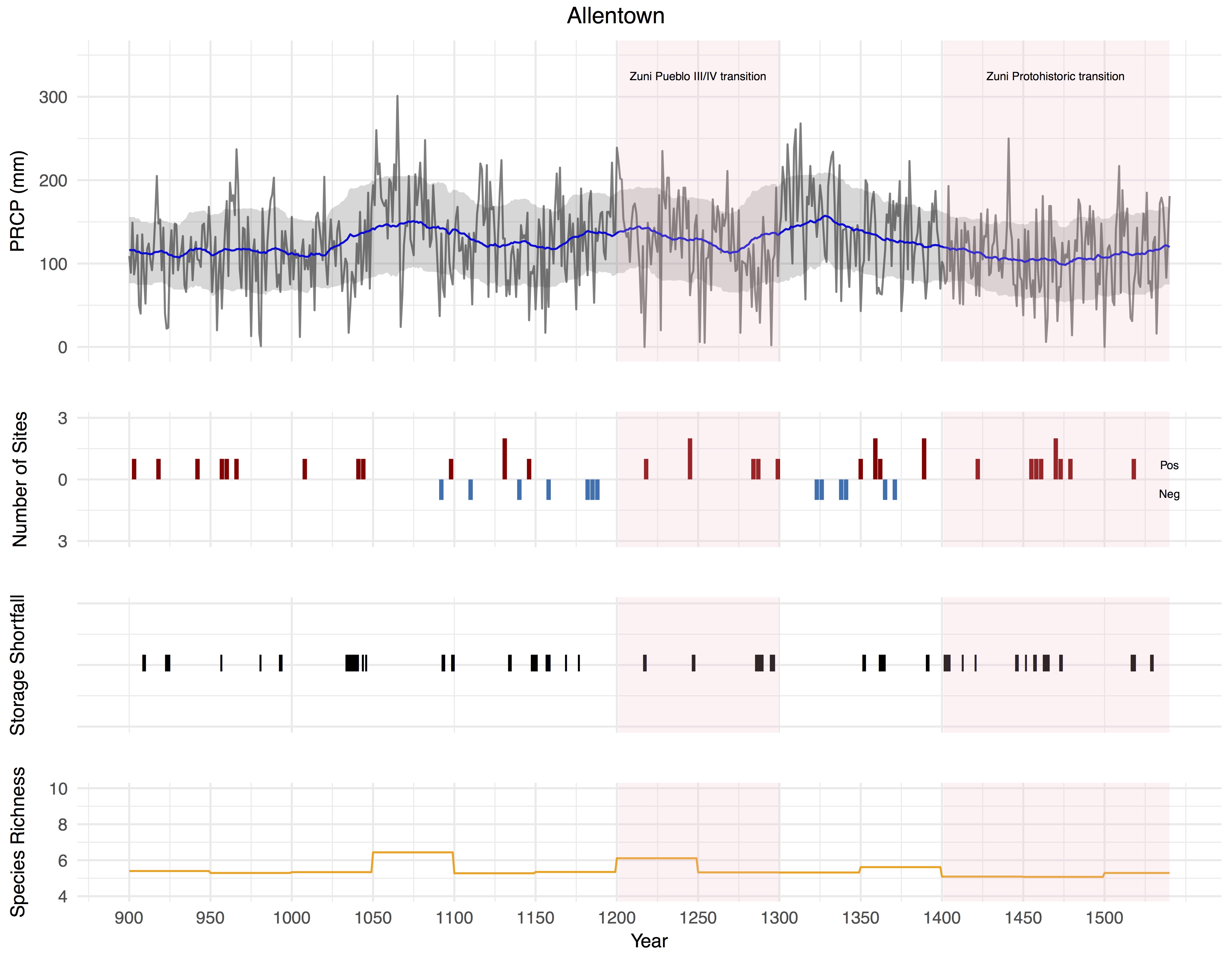
Long-Term Vulnerabilities and Transformations Project (LTVTP)
Modeling long-term social and ecological resilience of prehispanic (AD 900-1540) societies in the Greater U.S. Southwest using soil, climate, and archaeological data.
Link to webinar outlining this project, hosted by Crow Canyon Archaeological Center